 SailGrib Weather Routing Free


SailGrib WR is an easy to use marine navigation app with a very sophisticated and unique weather routing module.It is designed for recreational cruisers or demanding racers.It can calculate the fastest sailing route to your destination along a route with waypoints.The app has earned the following distinctions : - designed for Iridium GO! and Approved by Iridium - january 2015- Voiles et Voiliers - use it while cruising or racing - November 2014- Yachting World - "impressive" - July 2014- Transatlantic race The Cape - Rio 2014 - The Sun Fast 3200 Yolo winner in class 2- Fastnet 2015 - The JPK1010 Nautistock.com winner in IRC3
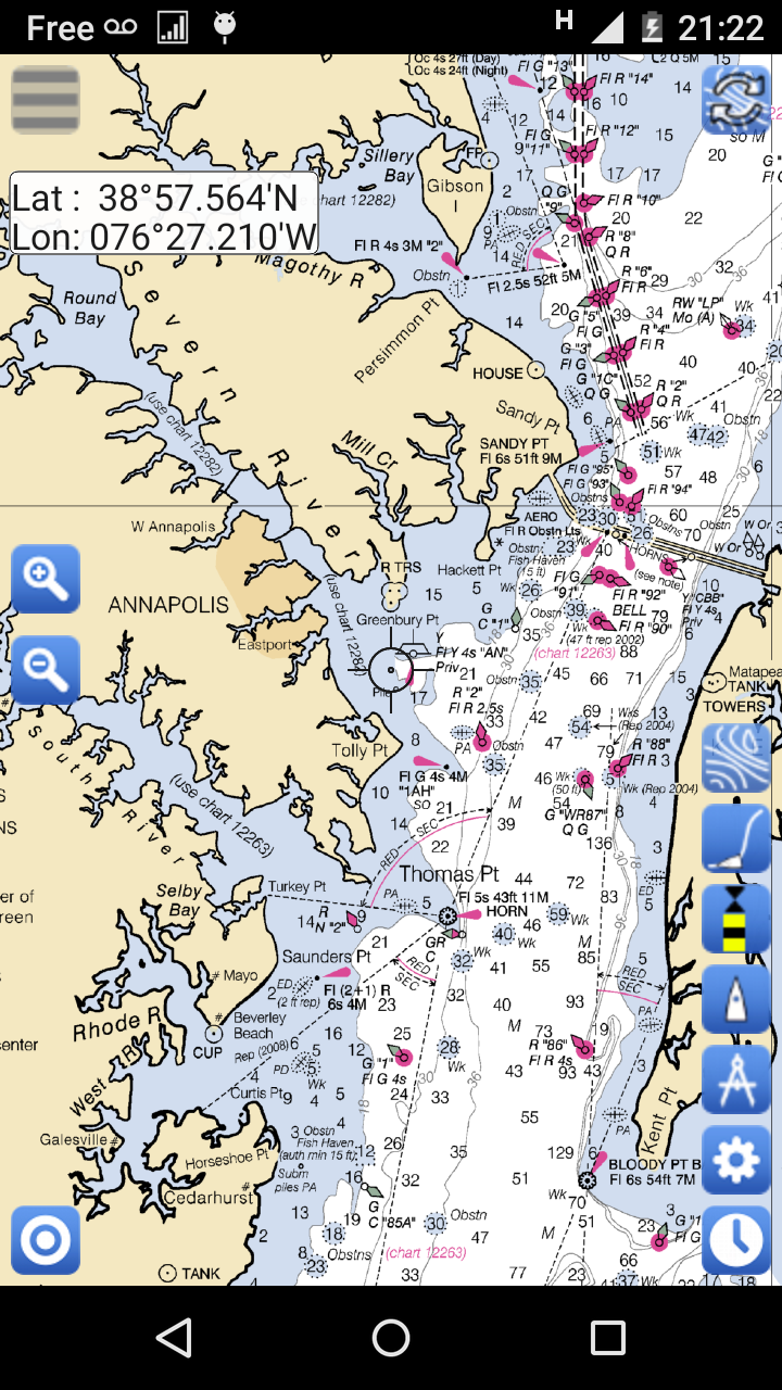
It now includes:- a navigation panel (paid version only)- NOAA raster marine charts for Free- the option to load custom charts- a full set of atlases of tidal currents for all the European coasts. A SailGrib WR exclusivity- a tide module which calculates and displays tides level predictions around the world- the Météo France models (paid version only): - Arpege - Global 0.5° - Arpege - Europe - High Resolution 0.1° - Arome - France - Ultra High Resolution 0.025°- a virtual regatta option to help you win games.
In SailGrib WR, you can specify for your weather routing amongst other parameters:- the wind grib file: SailGrib WR includes the regular SailGrib features.- the start, the destination points and intermediary waypoints- the departure date and time,- the speed polar file of your boat. SailGrib WR uses regular Maxsea polar files (.pol extension)SailGrib WR includes a set of more than 100 polar files for different sailboats.- wind limits up and downwind- minimum upwind angle for comfort while cruising- night efficiency loss for cruising- mixed routing: use your engine if you are too slow sailing.- the current
The Free version is limited to:– 2 days of GFS 0.50° forecast– 1 day of tidal forecast– 50 NM routings– no atlas of tidal currents– no navigation panel.
Important note:Grib files are computer-generated forecast files which are sent without review, and are offered on an as-is basis. There is no assurance that the data is accurate or correct. By using such data, you acknowledge and agree to these limitations.The weather routing module is for planning purpose only.The maps usedeither in navigation or by the weather routing algorithm might be very coarse and for example might not include all the islands.The Location used by the navigation module migt be inacurate.By using these maps, these data and this algorithm you agree to these limitations and assume all the responsibility for their use.